StreetLight is the world’s only interactive, multimodal transportation data platform, giving you the geospatial and temporal resolution you need to deploy your New Mobility assets.
Get StartedSEE IT LIVE
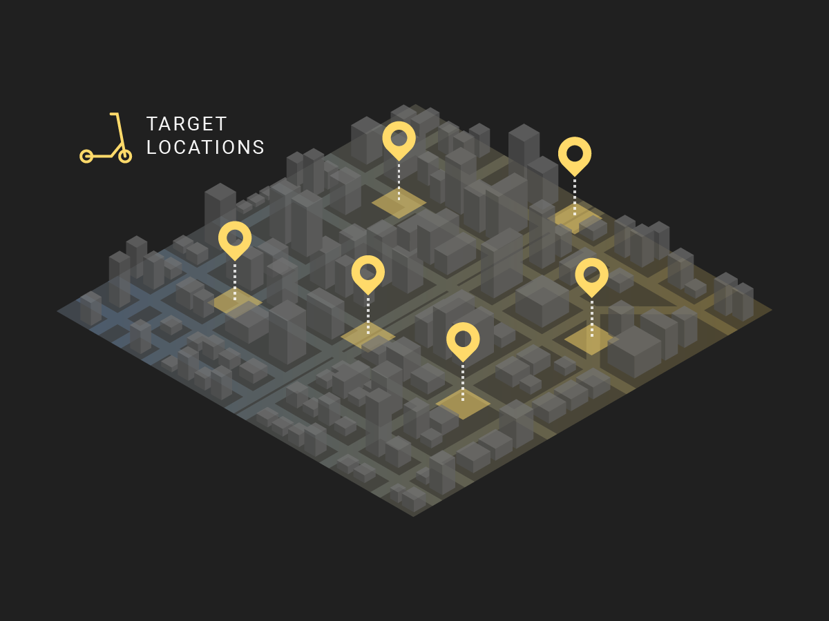
TNCs, micro-mobility and EV charging companies use our mobility metrics to:
- Forecast demand based on real-world travel behavior
- Prioritize new markets, neighborhoods and intersections for deployment
- Estimate market share of different modes and technologies
- Collaborate with government and public stakeholders
FEATURED WEBINAR
Ridesharing in the Sky
eVTOL Network Efficiency
Uber is expanding its options to help create a new future of transportation. Join our webinar to hear from Uber Elevate’s Ian Villa, who explains how Elevate uses StreetLight’s data to help model demand in Los Angeles and other target markets.
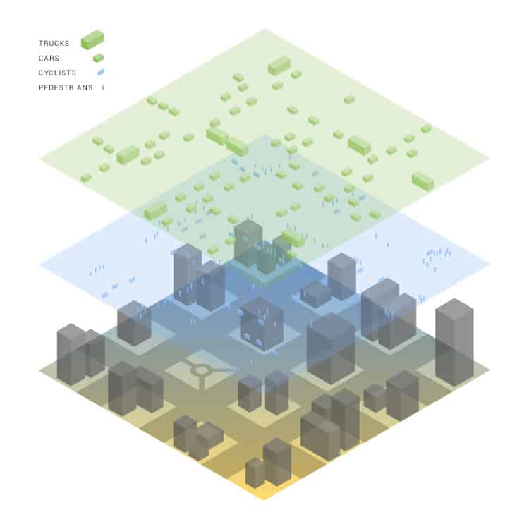
You have trip data for your own service. Our travel data is universal.
Every month, we ingest, index and process ~40 billion anonymized location records from smart phones and navigation devices in connected cars and trucks. Our proprietary data processing engine, Route Science®, algorithmically transforms them into contextualized, normalized, and aggregated travel patterns.
You get access to the output: analytics that describe how all personal and ride-hailing vehicles — as well as bikes and pedestrians — move on our streets.
You have trip data for your own service, our travel data is universal
Every month, we ingest, index and process ~40 billion anonymized location records from smart phones and navigation devices in connected cars and trucks. Our proprietary data processing engine, Route Science®, algorithmically transforms them into contextualized, normalized, and aggregated travel patterns.
You get access to the output: analytics that describe how all personal and ride-hailing vehicles — as well as bikes and pedestrians — move on our streets.
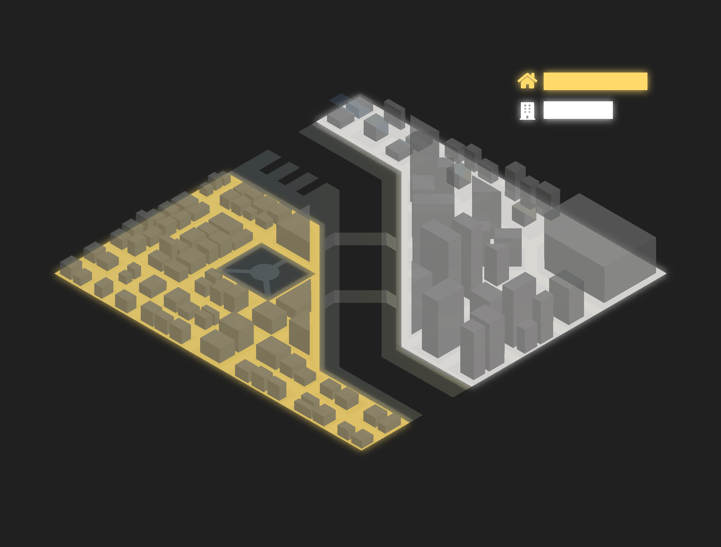
Origin-destination, demographics and so much more
Use StreetLight to understand demand in any neighborhood, city, or region across North America. For any corridor or geographic zone, understand where trips originate and end. Access average trip length, speed, or duration to optimize placement of assets like EV charging stations, bikes or air hubs. Enrich it with “trip purpose” and demographics to meet your goals and those of the community.
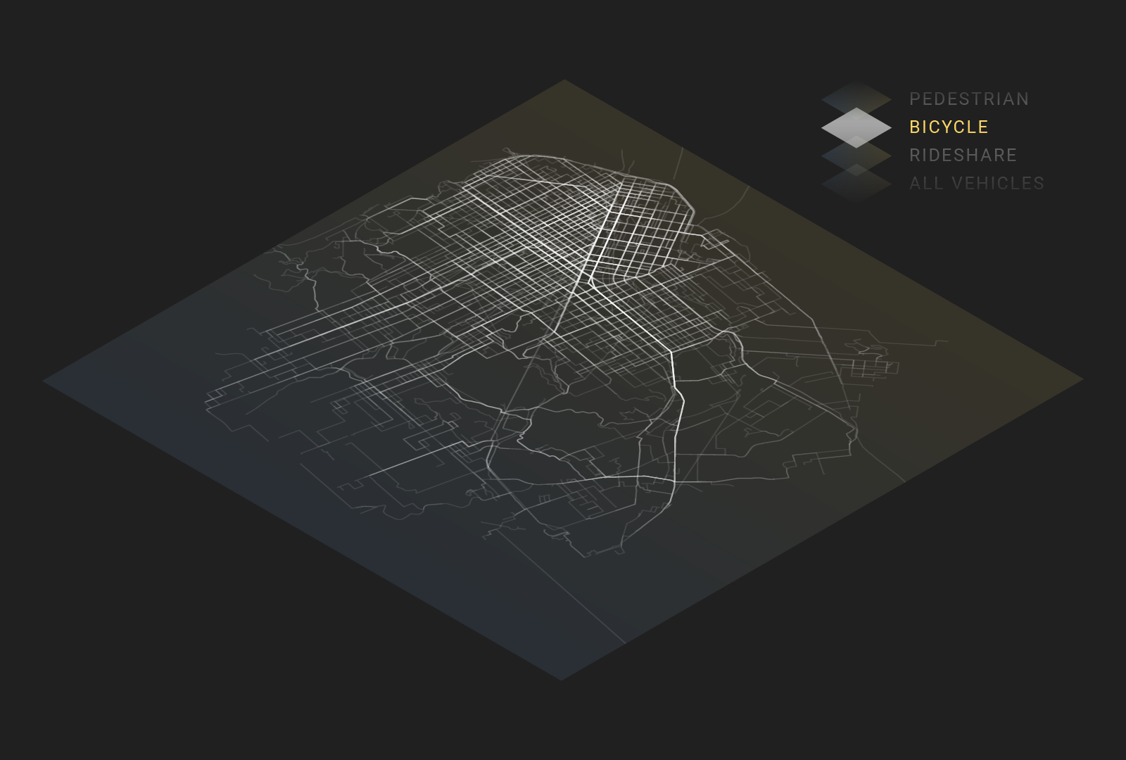
Travel metrics at your fingertips
Origin-Destination for multiple modes
Select geographic zones, from cities to individual blocks or intersections, and get hourly O-D data for motorists, bikers or pedestrians.

Travel purpose and demographics
Overlay inferred trip purpose data to shed light on commute and other trip demand — and enrich it further with income, education and family status.

Travel duration, length and speed
Identify trip cohorts to pinpoint demand. From short vehicle trips prime for converting to micro-mobility — to long trips prime for eVTOL flying taxis.
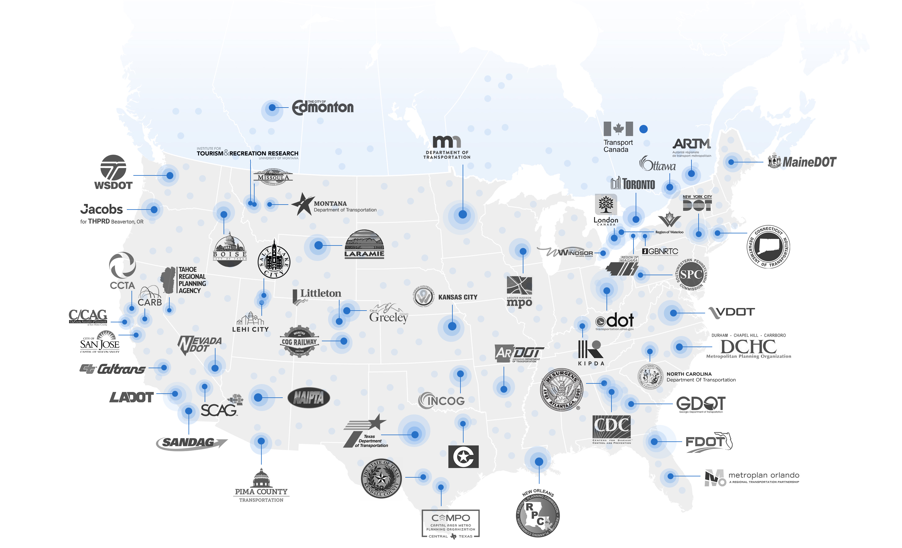
We're in 95% of U.S. MSAs
Chances are your cities already speak StreetLight
We power 1000’s of mobility projects at the local and state level.
Take advantage of our team's 100+ years of collective data science expertise
Talk to us about your New Mobility mission
Get access to take your New Mobility planning to the next level.